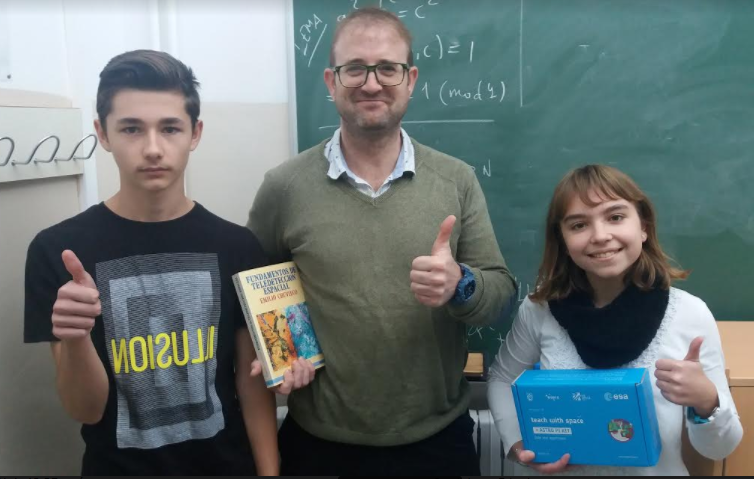
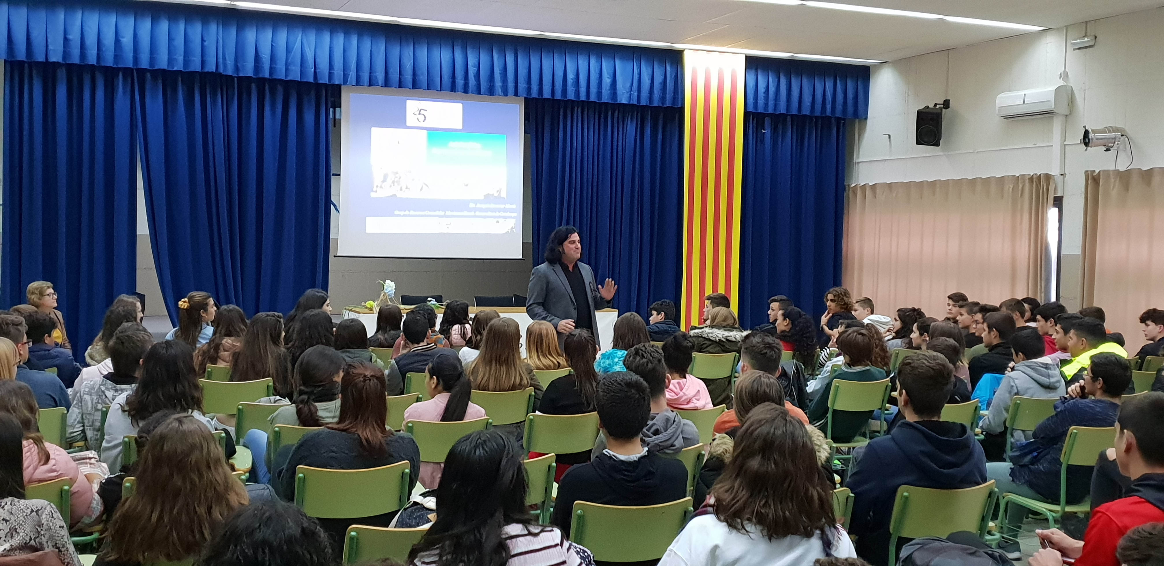


L’equip Deeep Code Team ,del nostre CodeClub Sòl-de-Riu, i que està integrat pels alumnes Abel Denis Ardelean (4tESO), Blanca Gasparín (3rESO) i pels professors Claudio Cosín i Marià Cano del Departament de Matemàtiques, ha resultat seleccionat per l’Agència Espacial Europea (ESA) per participar en la competició Challenge 2017 de AstroPi Mission SpaceLab.

La competició, que té un gran prestigi a nivell mundial, i que promou la divisió educativa de la ESA consisteix en proposar, dissenyar i programar el codi informàtic per a un experiment que es realitzarà en el dispositiu AstroPi per part de la tripulació d’astronautes a bord de la ISS (International Space Station).
Després d’enviar el codi corresponent a la Mission Zero, el projecte presentat inicialment pel nostre equip, però que segurament tindrà modificacions, ha estat el següent:
OCEANIC SEA TEMPERATURE INFRARED ANALYZER
The idea for our experimental project consists of the measurement and register of the Earth surface temperature using the infrared camera of AstroPi Izzy while the ISS is orbiting the Earth. Our objective is to detect and analyze different patterns of gradient temperature between ocean masses and land surfaces. In the first phase, the device will record the infrared images. In the second phase data will be analyzed on our ground computer lab. We will code two programs, one to register the image events logs (image, date, time and orbit coordinates) captured during the mission, and another to analyze and compare captured data file with other historical datasets.
With the data obtained we expect to observe:
Patterns in water temperature, to show movements of oceanic water masses between continents.
Patterns of temperature gradients between land surfaces and oceanic surfaces depending on the time of day.
Variations in the temperature of the polar oceans throughout the year in order to explore relevant parameters for climate change studies.
Our final scientific goal is to explore and establish relevant parameters for climate change studies.
HARDWARE:
We will use the NoIR infrared camera in order to capture a repository of snapshots of Earth Surface. The camera will take a photo each minute.
CODE:
The code splits into:
1 (capture): each photo will be tagged in GMT timestamp format and it will be saved in a directory structure organised by hour and day. This first piece of code will be implemented in Python using the facilities of the library PiCamera.
2 (crawling and generate database): this set of routines will be able to generate a grid of points covering Earth surface and a database where we register, for each point of the grid, several entries with inferred temperature and timestamp. For this second part we will use IIStracker to assign geographical metadata to the snapshot and Wolfram Language to get geographical coordinates to each pixel or set of pixels of the photo. Moreover, that language will be used to infer the temperature of those pixels. Finally we will save the structured data in a SQLite database.
3 (query database and analysis of the data): we will query the SQLite database to try to answer the questions we have proposed in our project. This piece of code will be developed in Python.
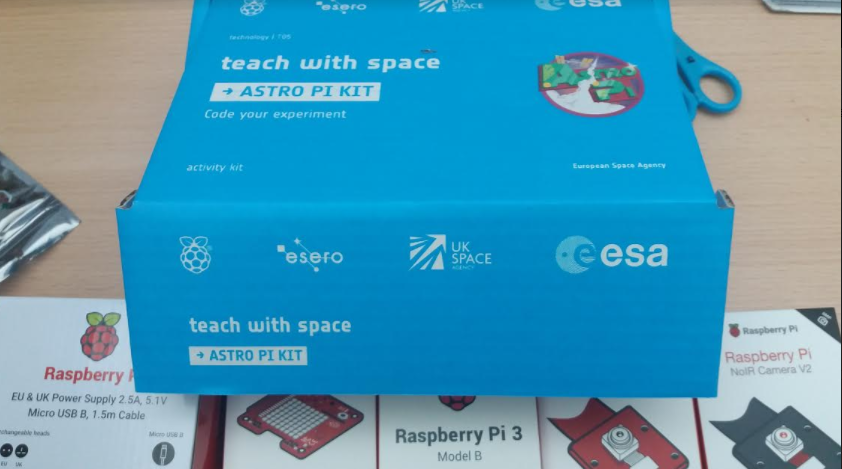
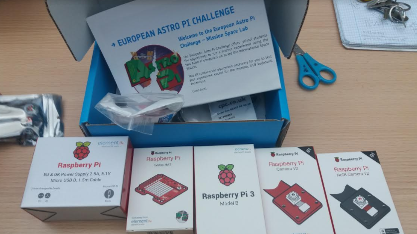
Ahir vàrem rebre al centre una rèplica del dispostiu AstroPi de la ISS que s’ha de muntar i programar per lliurar el projecte abans del mes febrer de 2018. Des d’aquí volem felicitar i encoratjar als membres de l’equip per aconseguir les més altes fites possibles en aquest repte tan il·lusionant. Comença l’aventura!
Per Ardua Ad Astra